
-
Image
-
Image
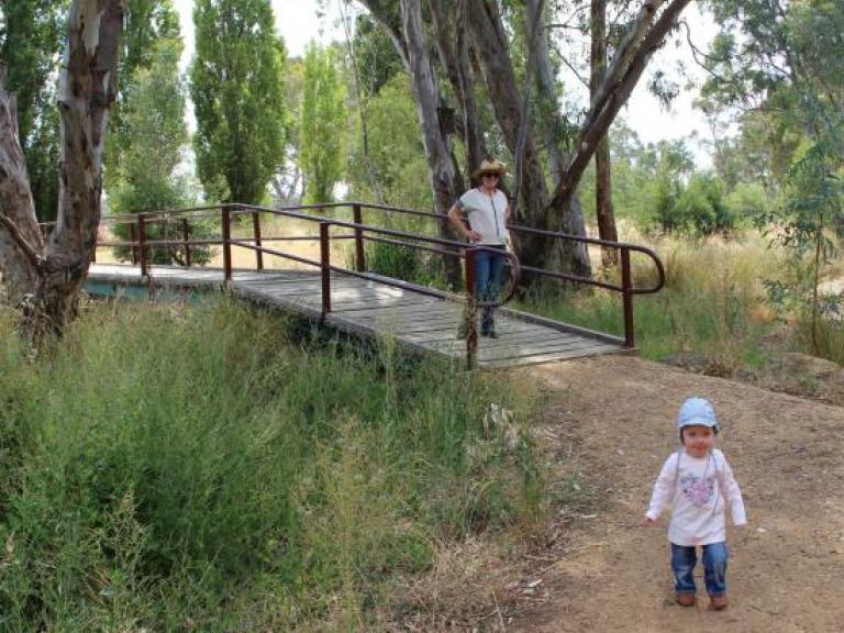
Campbells Creek Trail and Reserve

Forest Street
Runs to Campbells Creek Park, Campbells Creek Victoria
Castlemaine VIC 3450
Australia

features

Toilets

Toddler friendly

Seats

Tables

BBQ

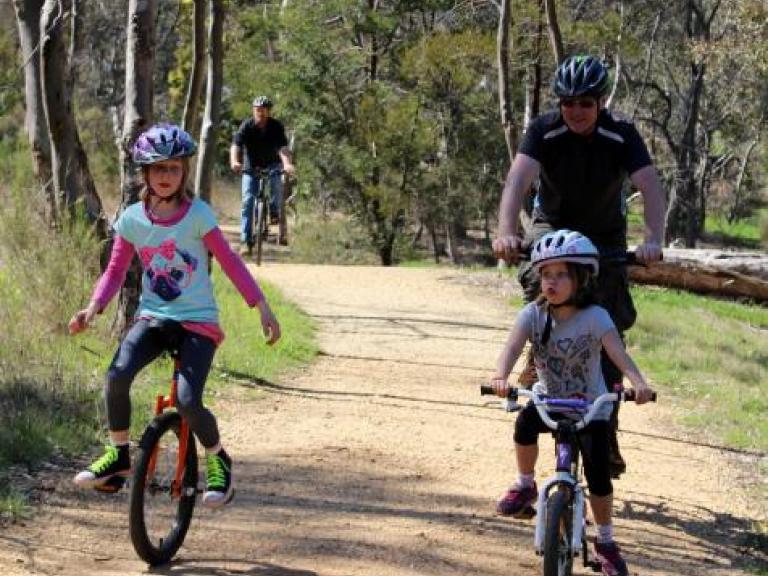
Bike path
Reviews
Walking and cycling track that runs along Campbells Creek. The trail starts at Forest Street Castlemaine, near the corner of Camp Reserve and finishes at the Campbells Creek Park, almost opposite the primary school. Other entrances alone the route include...
Gaulton Street, Castlemaine, Victoria
Camp Crescent, Castlemaine, Victoria
Midland Highway, Castlemaine, Victoria
Farnsworth Steet, Castlemaine, Victoria
Butterworth Street, Castlemaine, Victoria
Ray Street, Castlemaine, Victoria
Pyrenees Highway, Castlemaine, Victoria
Lewis Drive, Castlemaine, Victoria
Princess Street, Campbells Creek, Victoria
Honeycomb Road, Campbells Creek, Victoria
Except for a small gap, which presently causes a detour, the Trail follows the beds of the creek connecting Castlemaine with the length of Campbells Creek. Most of the track can be done without crossing a road. Along its length are small bridges, interactive notice boards, and scenic seats to take in the billabongs and flood plains which are covered in Australian plants and bird-life.
The trail is cared for by the Mt Alexander Shire Council and volunteers from the Friends of Campbells Creek Landcare group.
There are toilets, playground and sheltered barbeques at the end of the Trail in the Campbells Creek Park.

